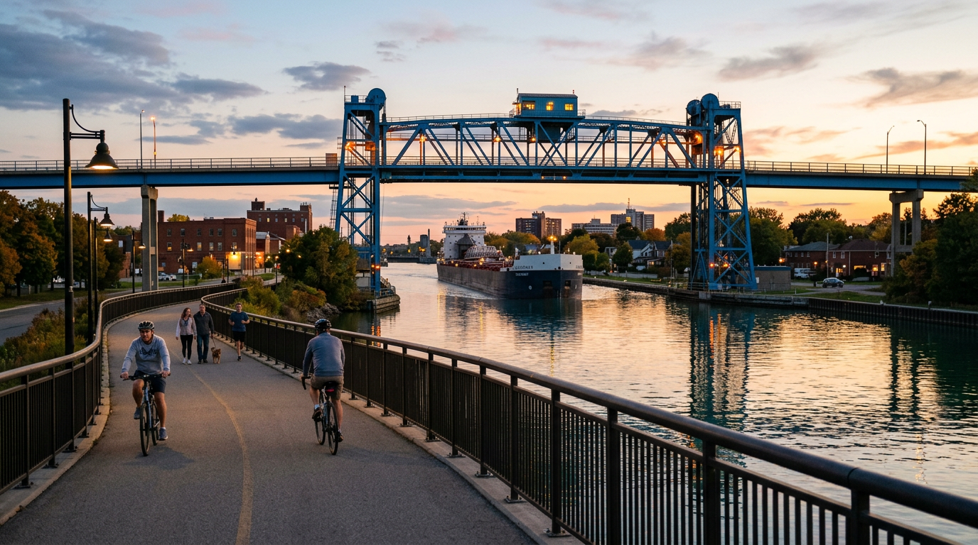
Welland Canal Ship Schedule — How to Track Today's and Tomorrow's Ships
Today's Welland Canal ship schedule comes from two sources: the live MarineTraffic map and the Seaway's weekly transit advisory at seaway.ca. Here's how to use both to time your Lock 3 visit and actually catch a vessel transiting.
In This Guide
Where to Find the Real-Time Ship Schedule
The authoritative source for Welland Canal ship positions is the St. Lawrence Seaway Management Corporation (SLSMC). Their website at seaway.ca publishes live vessel locations across the full Seaway system, including all eight Welland Canal locks. Search for "Welland Canal ship location seaway.ca" to find the current ship tracker page.
For the most visual real-time experience, MarineTraffic (marinetraffic.com) is the tool most ship-watchers use. It is free, requires no account, and shows every AIS-equipped vessel on a map in near real time. Zoom in to the Welland Canal on the map and you will see exactly where ships are right now — their names, flags, cargo types, and speeds. The mobile app works well from the viewing platform at Lock 3.
Local tip: if the bridge warning lights are flashing at Lock 3, a ship is 10 minutes away. This is the fastest same-day schedule you will ever need.
The Lock 3 Timetable — What the PDF Actually Shows
The "Lock 3 timetable PDF" appearing in search results is typically a weekly vessel advisory published by the St. Lawrence Seaway. These documents list vessel names, flag states, cargo descriptions, and scheduled lock passage windows — useful for planning a trip 2-3 days out.
To access the current version: go to seaway.ca, look for "Transit Information" or "Vessel Traffic," and download the current advisory. The PDFs are updated weekly and list vessels by name, direction (northbound from Lake Erie or southbound from Lake Ontario), and an approximate passage time window.
For same-day planning, MarineTraffic is faster and more accurate than the PDF. Allow +/- 2 hours on any Seaway advisory time — actual arrivals depend on weather, cargo operations at lake terminals, and lock traffic.
How to Time Your Visit to Actually Catch a Ship
Ships transit the Welland Canal 24 hours a day, seven days a week during navigation season (late March to late December). On a typical busy day, 4-6 vessels pass through Lock 3 — so a 90-minute visit at almost any point gives you a good chance of a sighting.
The best strategy: check MarineTraffic before leaving home. If a ship is already at Lock 1 or 2 (the northernmost locks, Lake Ontario side), it will reach Lock 3 within 60-90 minutes. Southbound ships from Lake Ontario pass through Locks 1, 2, and 3 in sequence.
Northbound ships (heading toward Lake Erie) arrive at Lock 3 from the south — check for vessels at or south of Lock 4 on the map.
Weekday mornings tend to have higher traffic as ships completing overnight passages from Lake Erie or Lake Ontario begin their inbound lock sequence. Weekends can be quieter, though never reliably so.
Lakers vs Salties — What You Are Seeing
Two types of vessels work the Welland Canal. "Lakers" — lake freighters — are built specifically to fit the Seaway lock dimensions (maximum 225 metres long, 23.8 metres wide). They carry grain, iron ore, limestone, coal, and aggregates between Great Lakes ports and make up the majority of canal traffic.
"Salties" are ocean-going vessels that fit the Seaway locks and travel between the Great Lakes and Atlantic Ocean ports — Rotterdam, Antwerp, South American ports. A saltie might have loaded grain in Thunder Bay and be heading to Germany. Salties are less common than Lakers but unmistakable: they carry flags from the Netherlands, Cyprus, or Panama, and their superstructure profiles are visibly different.
MarineTraffic shows each vessel's flag and home port before it arrives — half the experience is tracking where a ship came from and where it is going before you see it in person.
Lock 3 Viewing — Practical Details
The Welland Canal Visitor Centre at Lock 3 is the most accessible ship-watching location on the canal. Address: 1932 Welland Canals Pkwy, St. Catharines, ON — about 15 minutes from downtown St. Catharines and 25 minutes from central Niagara Falls.
Parking is free. The viewing platform is open year-round at no charge. The Visitor Centre has seasonal hours and a small museum with scale-model exhibits — free on Sundays.
The platform puts you level with the ship deck as vessels transit the lock chamber. This is the genuinely startling part: a 200-metre, 25,000-tonne freighter slides past you at 5-8 km/h, separated from the viewing deck by about 5 metres of water. The scale does not register until you are standing beside one.
Bring binoculars for reading vessel names as they approach. A folding chair is useful in summer — waiting 30-60 minutes between ships is common and seating is limited. The area is exposed to wind, so dress appropriately in spring and fall.
Other Viewing Spots Worth Knowing
Lock 7 (Thorold) — the "Flight Locks": three locks in immediate succession, lifting ships 42 metres total. Viewable from the Beaverdams Road bridge overhead. The stacked lockages make this the most dramatic spot on the canal.
Lock 8 (Port Colborne): Guard Lock at the Lake Erie end. Vessels crossing between lake and canal pass at water level, viewable from the Clarence Street swing bridge and the surrounding inner harbour. Port Colborne has good waterfront restaurants for post-watching lunch.
Rose House Parkette (Welland): Ships pass within 20 metres of the sidewalk — closer than anywhere else on the canal. Free, no facilities. Bring a chair. Best spot for photography.
Frequently Asked Questions
Where can I find the Welland Canal ship schedule for today?
The St. Lawrence Seaway Management Corporation (seaway.ca) publishes live ship positions across the Welland Canal. For a real-time visual map, MarineTraffic (marinetraffic.com) shows every vessel currently on the canal with its name, flag, and speed — no account required.
How do I find tomorrow's Welland Canal ships?
The Seaway publishes a weekly transit advisory (downloadable from seaway.ca under "Transit Information") that lists vessels expected with approximate lock passage windows. Allow +/- 2 hours on any scheduled time. MarineTraffic also shows vessels already in the Seaway system, giving a 12-24 hour preview of approaching ships.
Is there a Welland Canal ship schedule PDF or timetable?
Yes. The St. Lawrence Seaway Management Corporation publishes weekly transit advisories as downloadable PDFs at seaway.ca, listing vessel names, cargo types, flag states, and approximate lock passage windows. For same-day timing, the live MarineTraffic map is more accurate.
What time do ships go through Lock 3?
Ships transit Lock 3 at all hours, 24/7 throughout navigation season (late March to late December). There is no fixed timetable — check MarineTraffic before leaving home. If a ship is at Lock 1 or 2, it will reach Lock 3 within 60-90 minutes. At Lock 3, flashing bridge warning lights mean a ship is 10 minutes away.
How long does it take a ship to go through a lock?
Each lock passage takes approximately 10-15 minutes for the water fill/drain, plus approach and exit time — a vessel spends 20-30 minutes per lock. A full 42km transit of all 8 Welland Canal locks takes approximately 11 hours.
Is it free to watch ships at Lock 3?
Yes. The outdoor viewing platform and parking at the Welland Canal Visitor Centre at Lock 3 (1932 Welland Canals Pkwy, St. Catharines) are completely free. The indoor museum has a small fee with seasonal hours.
What is the difference between a laker and a saltie?
Lakers are Great Lakes freighters built specifically for Seaway dimensions and never leave the freshwater system. Salties are ocean-going vessels from international ports (Rotterdam, Antwerp, South America) that fit the locks and travel between the Atlantic and Great Lakes. MarineTraffic shows each vessel's flag and home port so you can identify them before they arrive.